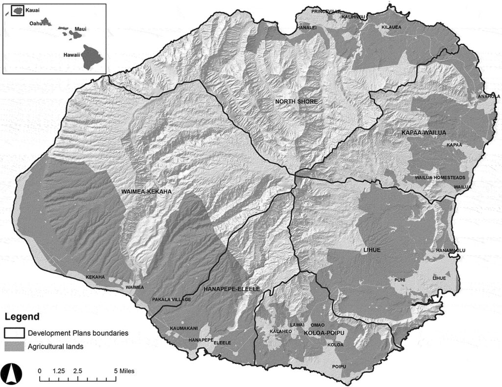
With increased affluence worldwide, planning for and preserving land for agriculture and conservation have become important goals in many communities. In Hawai‘i, the identification and designation of Important Agricultural Land (IAL) was first proposed at the 1978 Hawai‘i Constitutional Convention and approved by voters the same year. The state is required to conserve and protect agricultural lands, promote diversified agriculture, increase agricultural self-sufficiency, and assure the availability of agriculturally suitable lands. Act 183 in 2005 extended these efforts by defining IAL. The law established eight criteria to evaluate IAL and created county-led and landowner-initiated processes for designating IAL. It also specified policies for promoting agricultural production and identified landowner incentives for the designation of IAL. A central challenge facing policymakers is how to operationalize and implement these land use policies. This paper describes methods used to operationalize Act 183.
