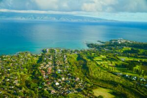
Declining natural resources have contributed to a cultural renaissance across the Pacific that seeks to revive customary ridge-to-reef management approaches to protect freshwater and restore abundant coral reef fisheries. We applied a linked land–sea modeling framework based on remote sensing and empirical data, which couples groundwater nutrient export and coral reef models at fine spatial resolution. This spatially explicit framework simultaneously tracks changes in multiple benthic and fish indicators as a function of community-led marine closures, land-use and climate change scenarios. We applied this framework in Hā‘ena and Ka‘ūpūlehu, located at opposite ends of the Hawaiian Archipelago to investigate the effects of coastal development and marine closures on coral reefs in the face of climate change.


Leave a Comment

Your email address will not be published. Required fields are marked *

The University of Hawaii Economic Research Organization (UHERO) welcomes online comments to stories that are posted on our website or social media pages. Comments are intended to be a forum for open, respectful, and family-friendly discussion. UHERO reserves the right to remove anything posted on our website or social media pages that is deemed inappropriate. All comments are moderated and will therefore have a delayed post time.
Some guidelines (not an exhaustive list) we use when moderating/approving comments include:

  • Do not bully, intimidate, or harass any user.
  • Do not post content that is hateful, threatening or wildly off-topic; or do anything unlawful, malicious, discriminatory or defamatory.
  • Observe confidentiality laws at all times.
  • Do not post spam or advertisements.
  • Observe fair use, copyright and disclosure laws.
  • Do not use vulgar language or profanity.

UHERO may amend this policy from time to time.